| 1 results of 1 | Open Now |
Map of Kurnell, NSW 2231
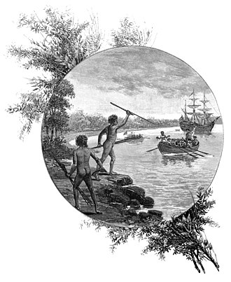
Kurnell is a suburb in Sydney, in the state of New South Wales, Australia. It is 21.4 kilometres (13.3 mi) south of the Sydney central business district, in the local government area of the Sutherland Shire along the east coast. Cronulla and Woolooware are the only adjacent suburbs. La Perouse is located opposite, on the northern headland of Botany Bay. The Cronulla sand dunes are on the south eastern headland of Botany Bay. The eastern side of the peninsula is part of Botany Bay National Park, and Towra Point Nature Reserve is located on the western side of the suburb. Residents are affectionately known as ‘Kurnellians’.
Popular
Businesses
Streets
Popular businesses & services in Kurnell
Mechanics & Motor Engineers
Storage Solutions
Waste Disposal & Reduction Services
Aluminium Windows
Building Consultants
Candles
Electricians & Electrical Contractors
Forklifts & Forklift Repairs
Furniture Removalists & Movers
Hot Water Systems
Packaging Supplies & Materials
Plumbers & Gas Fitters
Advertising - Direct Mail
Agistment
Bathroom Equipment & Accessories Wholesalers & Manufacturers
Bathroom Renovations & Designs
Boat & Yacht Equipment
Boilers & Boiler Service
Boring & Drilling Contractors
Bottle Shop & Liquor Store
Brake & Clutch Services
Bricklayers
Building Foundation & Excavation
Bus & Coach Charter & Tours
Car Accessories
Businesses and services in Kurnell starting with Z
Streets in Kurnell
Balboa St
Banks-solander Tr
Bate Bay Rd
Bridges St
Burrawang Wk
Cape Solander Dr
Captain Cook Dr
Captain Cook La
Chisholm Rd
Clerke Pl
Cook St
Dampier St
Gannon St
Horning St
Jeffrey St
Lindum Rd
Magellan Wy
Mitchell Rd
Monument Tr
Murdock St
Muru Fire Tr
Polo St
Polo Trl
Prince Charles Pde
Reserve Rd
Sharn St
Silver Beach Rd
Sir Joseph Banks Dr
Solander St
Tabbigai Tr
Tasman St
Torres St
Towra Point Rd
Ward St
Yena Gap Trl
Yena Tr
My Whereis
Home
Set home locationWork
Set work locationSet your home and work address and access your most frequently used addresses easily.
Get quotes from your local Australian Businesses
| Our new tool powered by |
Results
Close